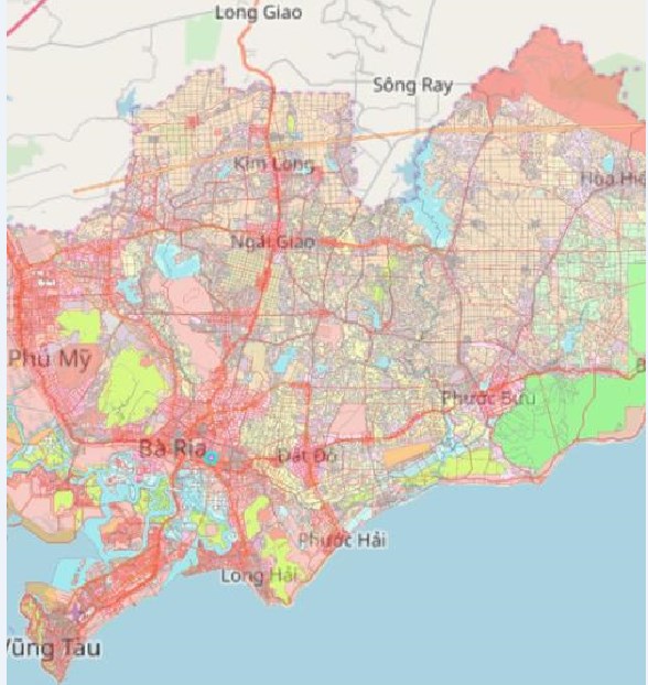
Ba Ria - Vung Tau launches an application for checking land use planning on mobile phones.
Specifically, after users install this application on mobile phones, it is possible to look up information on land use planning in Ba Ria - Vung Tau province directly on the app’s interface.
The app also allows users to locate by GPS, look up land use planning information at their position. After the first quarter of 2019, the app will be integrated with cadastral data to be a premise for the launch of an electronic land management manual application on mobile devices.
According to Mr. Pham Huynh Quang Hieu, Deputy Director in charge of Technology - Information Center under the Ba Ria- Vung Tau Department of Natural Resources and Environment, thanks to this app, it’s easier and more convenient for local people and businesses to seek information on land use planning, contributing to the improvement of land access index in the Southern province.
Mr. Hieu said that in the past, some provinces such as Long An, Dong Nai and Ho Chi Minh City also implemented this application, but Ba Ria - Vung Tau was the first province to put provincial planning on mobile app. Businesses, authorities and local people will have an overview of the province's land use planning towards 2020.


